
SkyBase is a Canadian mapping software company, creating extraordinary logistical tools for Oil & Gas, Forestry, Agriculture, Municipalities and Safety. Best known for our "PatchMap" line of software products, our primary focus is to create comprehensive but easy-to-use tools, allowing those without extensive mapping experience to perform practical tasks quickly and easily.
Client Testimonials

Quick Links
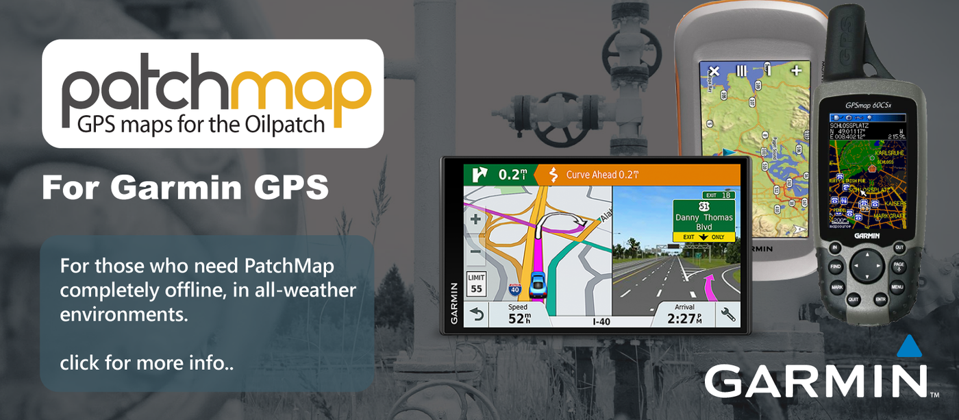
- PatchMap User Guides: Garmin Drive, nüvi, Montana
- PatchMap Setup Guides: Garmin Drive, Garmin nüvi
- AgMap User Guides: All Garmin models
- MapBuddy Installer: Download
- PatchMap PC 2.0 Installer: Download
- Garmin MapSource 6.13.6 Installer: Download
- Garmin nRoute Installer: Download
- SHP2GPX Installer: Download
- AddMyMap Installer: Download
- Magnetic Declination Calculator
- Space Weather